

MRRT Spring Lake Park Trail
Dakota County, Minnesota
Work in collaboration with SEH | Image Source: Dakota County

Image Source: SEH

Image Source: SEH

The project team during a field trip staking and identifying potential trail alignment and overlook locations.

Image Source: Dakota County

Image Source: Dakota County

Image Source: SEH

Image Source: SEH

Image Source: Dakota County

Image Source: SEH

Image Source: Dakota County

Image Source: SEH

Image Source: SEH

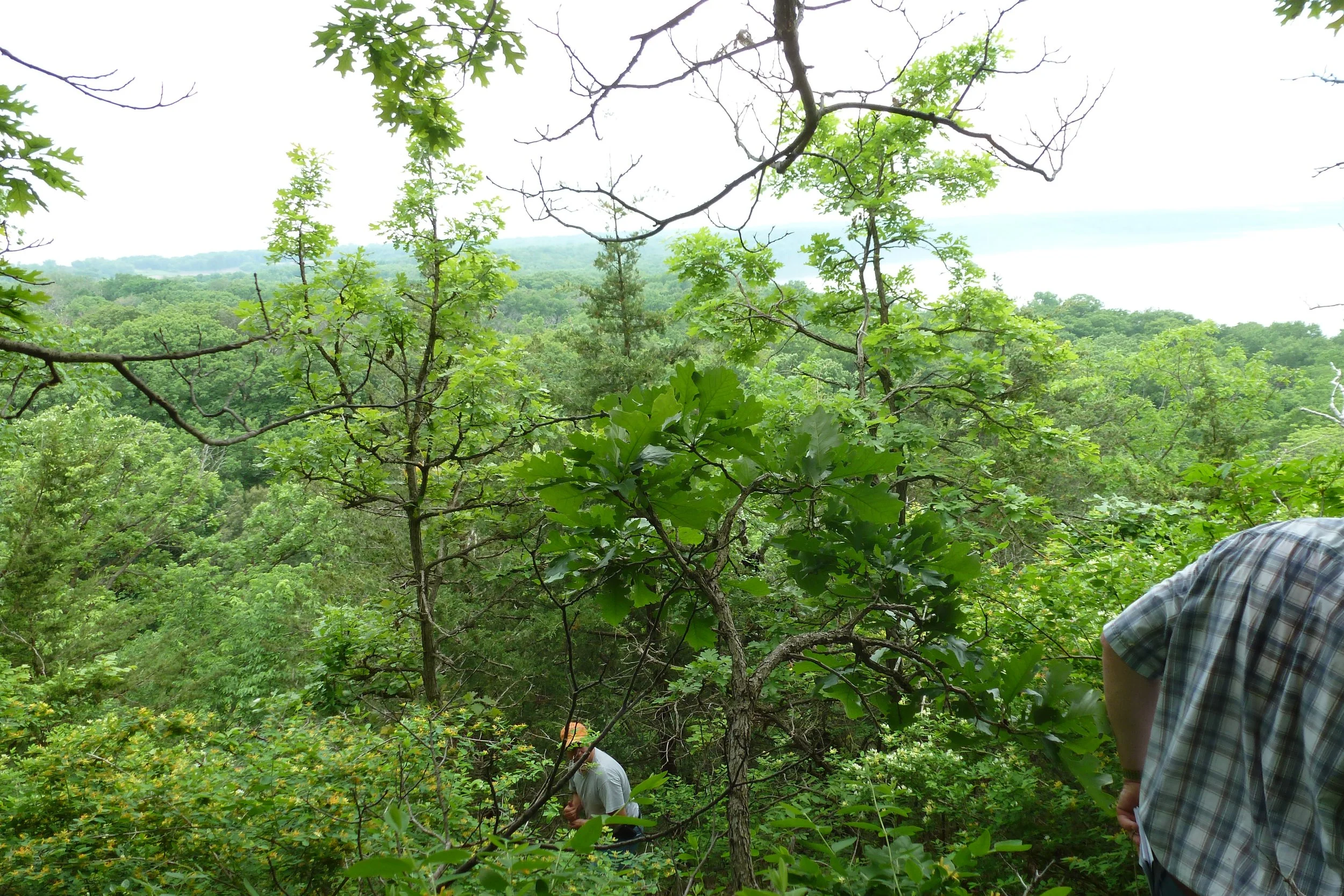
The project team during a field trip staking and identifying potential trail alignment and overlook locations.

Image Source: Dakota County
Project amenities include:
Overlooks with resting amenities for users and vistas providing the unique qualities of Spring Lake Park Reserve.
A “bench” along the edge of the west-facing bluff that allows users to reach the upper plateau of Schaar’s Bluff.
Pedestrian bridges that together span approximately 570 feet in total length with overlook decks on each bridge span to allow sweeping views of the river and ravines.
Accessible trail design with a maximum 4 percent grade meeting ADA requirements and creating an enjoyable experience for users of all ages and abilities.
More than 1,300 native trees, shrubs, and perennials and 25 acres of prairie restoration.
Interpretive and wayfinding signage
Services:
Pre-Planning through Construction Administration
Site and Landscape Architecture Design
Natural and Cultural Resource Studies
Stakeholder and Community Engagement Facilitation
The Spring Lake Park Reserve Trail Project included the implementation of a 4.3-mile section of the Mississippi River Regional Trail (MRRT) in Dakota County, Minnesota. The trail further extends 27 miles along the Mississippi River from Saint Paul to Hastings, providing scenic views of the river and connections to local parks, open spaces, trails, and other community destinations. The MRRT is also known to be part of the national Great River Road’s Mississippi River Trail which extends as far south as the Gulf of Mexico.
The project involved preliminary planning, schematic design, final design, and construction services including the preservation and integration of existing natural and cultural resources carefully researched. The recommendations were vetted through public input and policymaker’s feedback prior to final approval and adoption. Several public open houses and individual stakeholder meetings were performed as part of the scope of work.
Ana served as the lead landscape architect for the project while employed at SEH.
The project team during a field trip staking and identifying potential trail alignment and overlook locations.